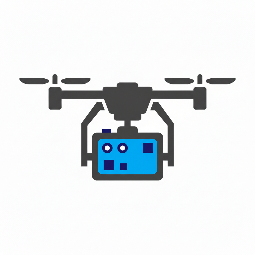
Inspection & Mapping Drone Insurance for Commercial UAS Operations
Insurance built for LiDAR, photogrammetry, and inspection workflows, with coverage designed for data-driven operations and high-value survey equipment.

What Is Inspection & Mapping Drone Insurance?
Inspection and mapping drone insurance is a commercial drone insurance program tailored to UAS operations used for LiDAR scanning, photogrammetry, surveying, and infrastructure inspection. It typically combines drone liability, hull and physical damage, payload and equipment coverage, and specialized endorsements for high-value sensors and data-driven inspection environments.
It is designed to support professional inspection and mapping workflows while protecting operators from survey- and data-collection-specific risks.
Inspection & Mapping Drone Insurance Quick Facts
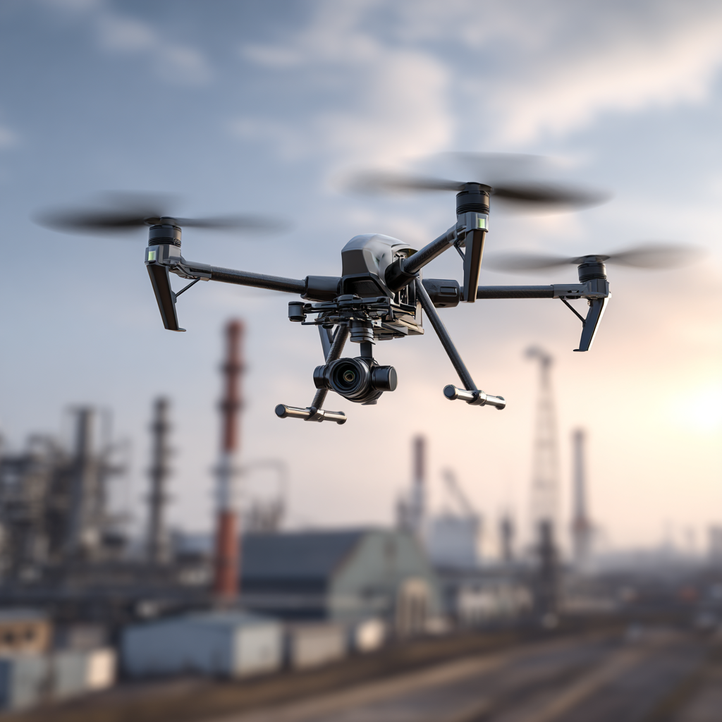
Common Drone Operations in Inspection & Mapping
Top Risks for Inspection & Mapping Drone Operations
Drone Insurance Coverages Commonly Needed in Aerial Photography
Drone Liability Insurance
Inspection and mapping operations often take place near infrastructure, contractors, and client facilities. Drone liability insurance helps protect against third-party bodily injury, property damage, and certain personal injury claims arising from drone flights. Asset owners and project managers commonly require proof of liability coverage before authorizing inspection work.

Hull & Physical Damage Insurance
Inspection and mapping drones are used frequently and often fly close to structures, terrain, and equipment. Hull and physical damage insurance helps cover repair or replacement if your drone is damaged in a crash, hard landing, or other covered event. This protects your aircraft investment and reduces downtime on active projects.
Payload & Equipment Insurance
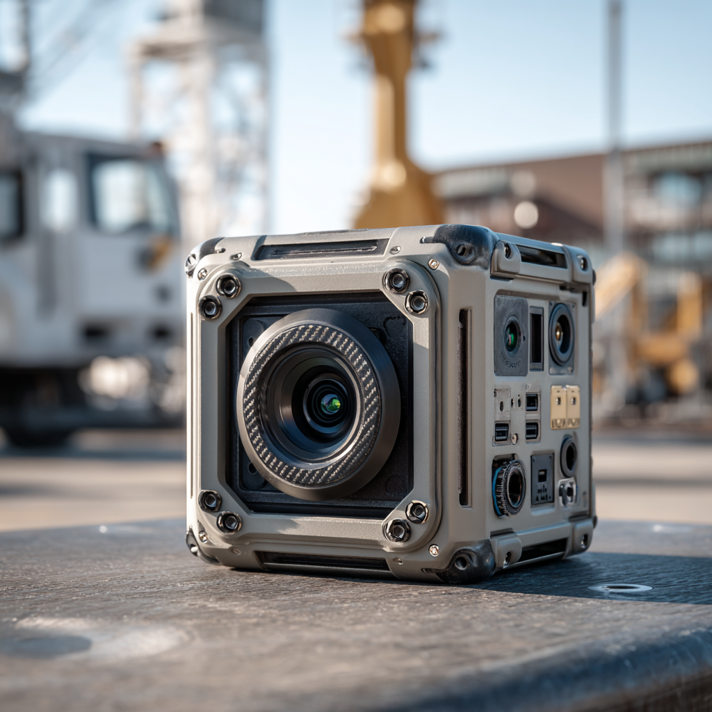
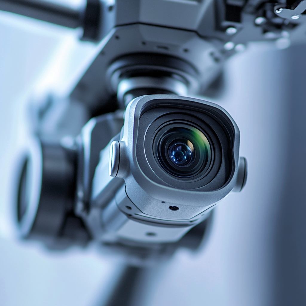
Inspection and mapping programs rely heavily on LiDAR units, RTK/PPK systems, thermal cameras, and high-resolution sensors. Payload and equipment insurance helps protect these high-value components against physical damage or loss while mounted, handled in the field, or transported between job sites.

Specialized Drone Insurance (When Needed)
Some inspection and mapping operations involve BVLOS, long-corridor flights, or waiver-based operations. These activities may require specialized underwriting review and additional regulatory compliance. Specialized drone insurance may be required when operations involve expanded flight envelopes or higher-risk inspection environments.
Limits, COIs, and Client Requirements in Aerial Photography
Aerial photography clients and venues often impose specific insurance requirements, including:
Common Aerial Photography Drone Insurance Claim Scenarios
Inspection & Mapping Drone Insurance FAQs
Do inspection and mapping clients require proof of drone insurance?
Does engineering or survey professional liability cover drone operations?
Are LiDAR and photogrammetry operations considered higher risk?
Do I need separate payload coverage for LiDAR and RTK/PPK systems?
Can inspection drone insurance support corridor and ROW mapping projects?
Is international inspection and mapping coverage available?
Does inspection drone insurance support BVLOS or long-corridor mapping?
Get Inspection & Mapping Drone Insurance Built for Data-Driven Projects
Protect your inspection and mapping drone operations with coverage designed for high-value sensors, corridor projects, and enterprise client requirements.